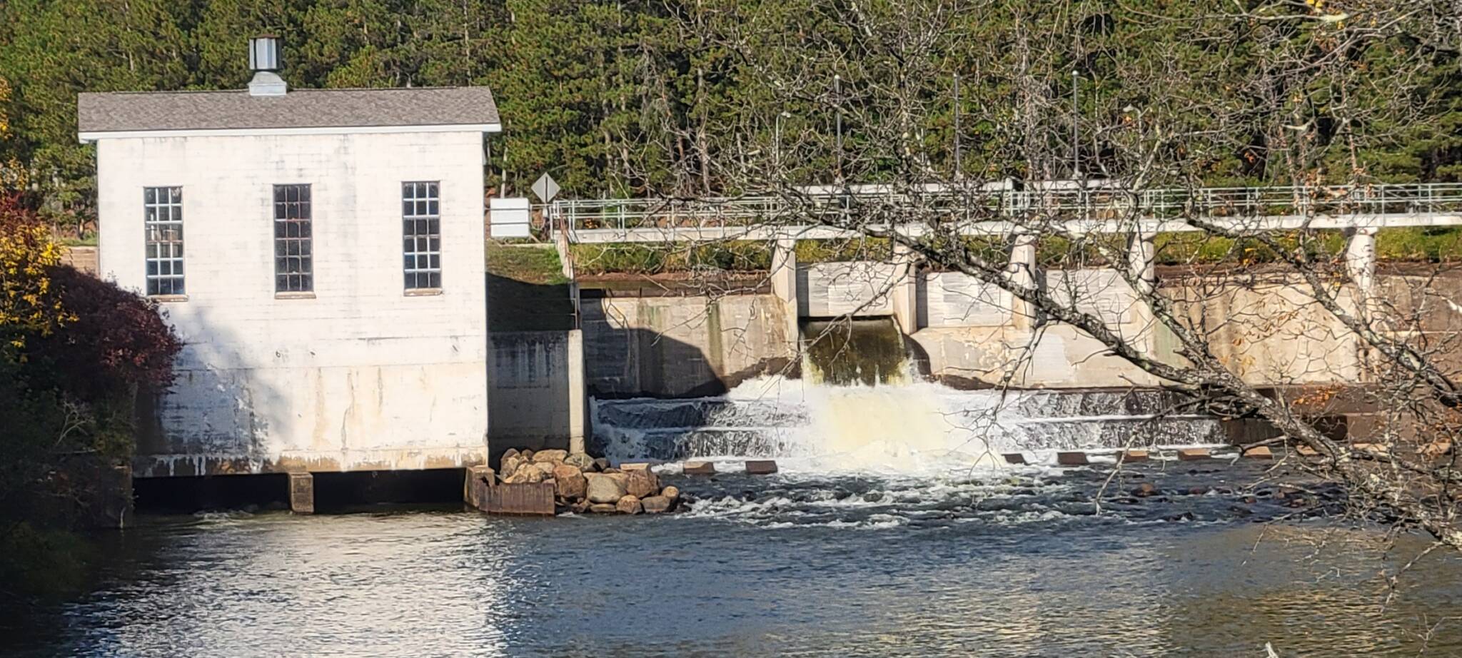
September 22nd 2021 The Drawdown is underway
September 29th 2021
September 26th 2021
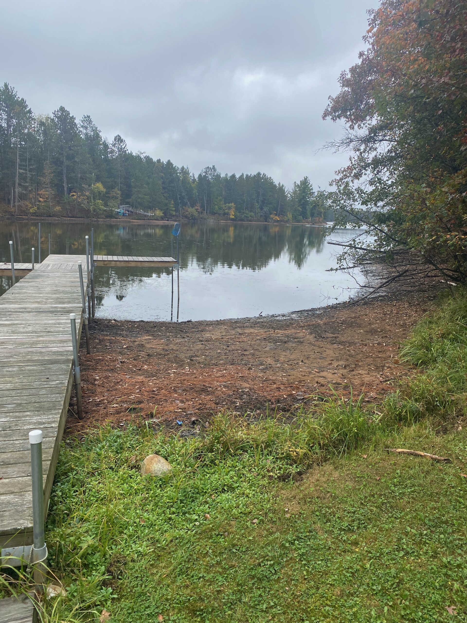
image1

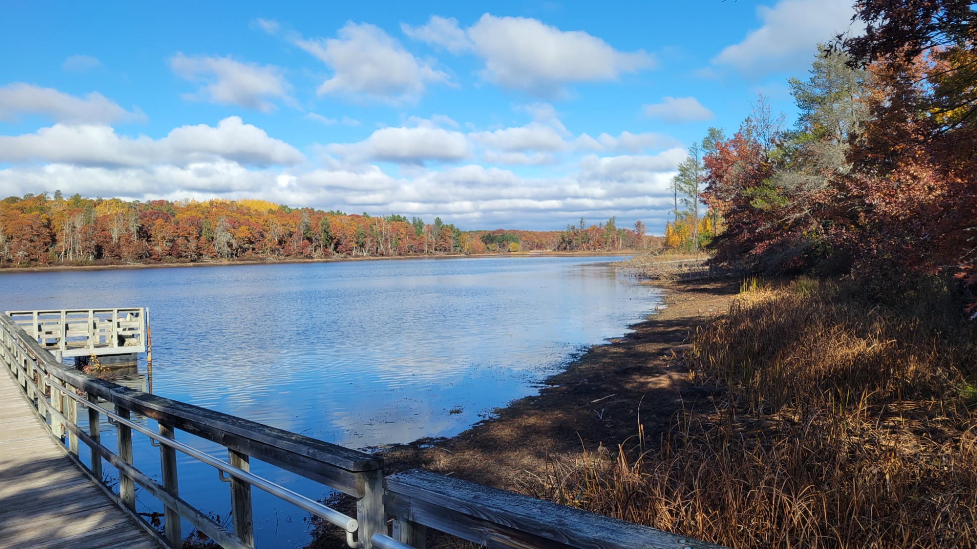
Small bay on the east side of the southern end of the flowage
10-25-2021 DNR-boat-landing-1
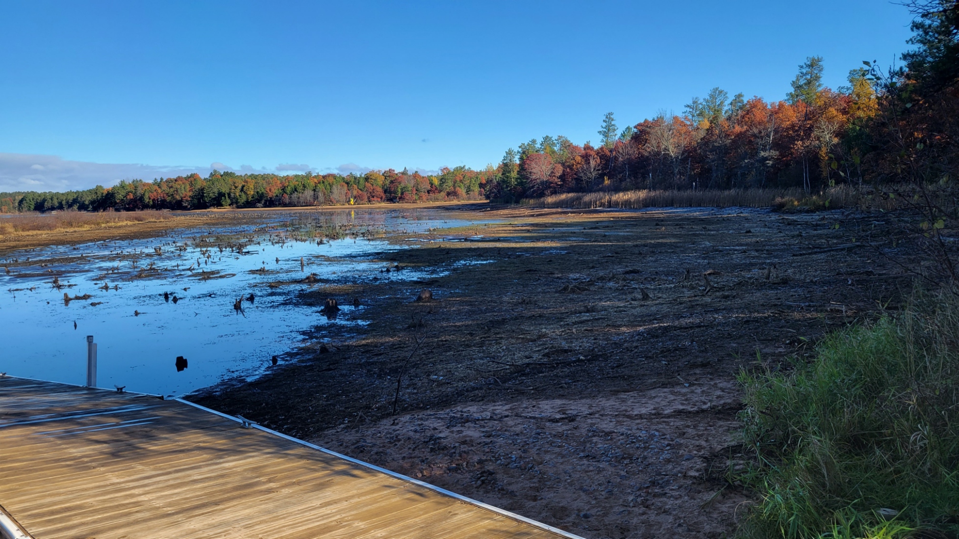
10-25-2021 DNR boat landing-2
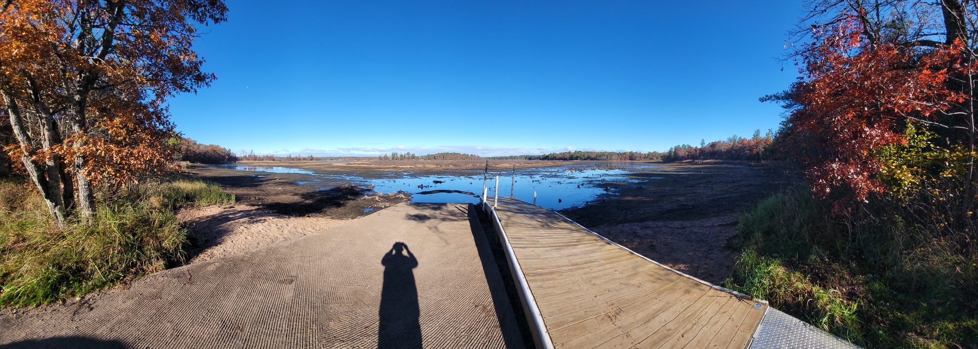
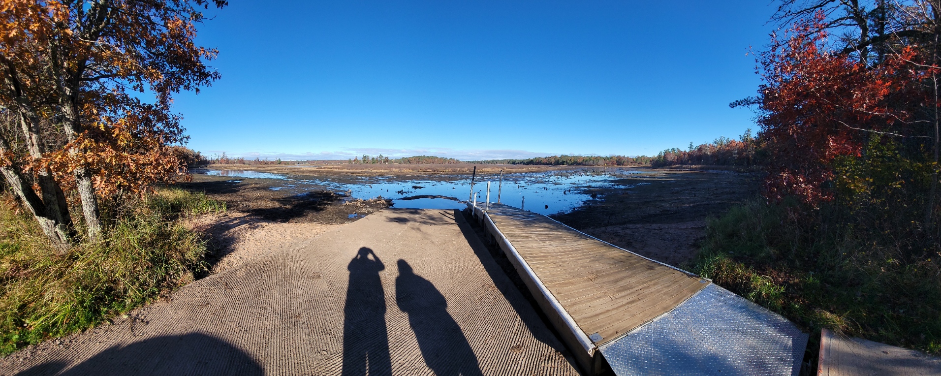
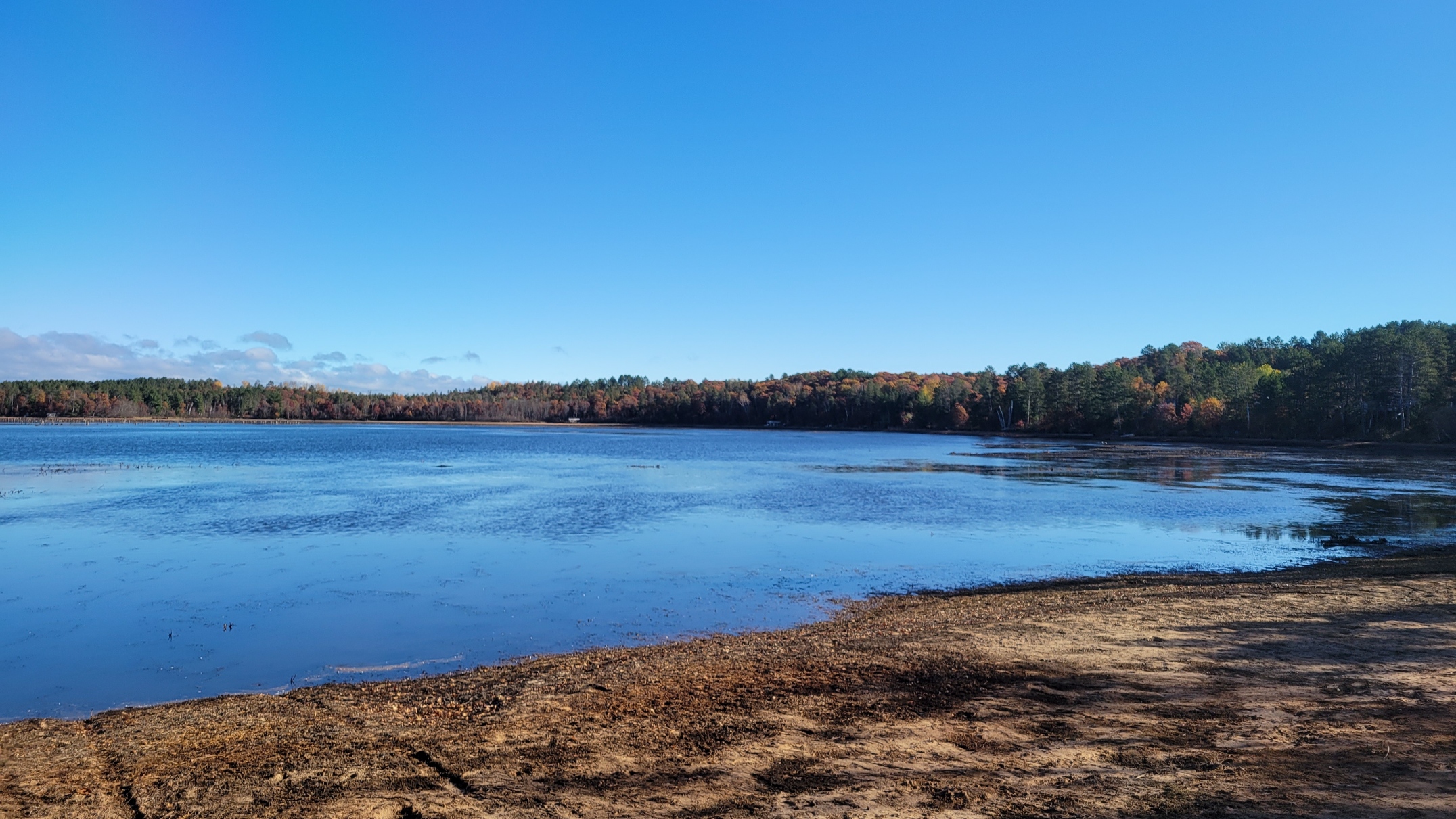
10-25-2021 DNR boat landing pan

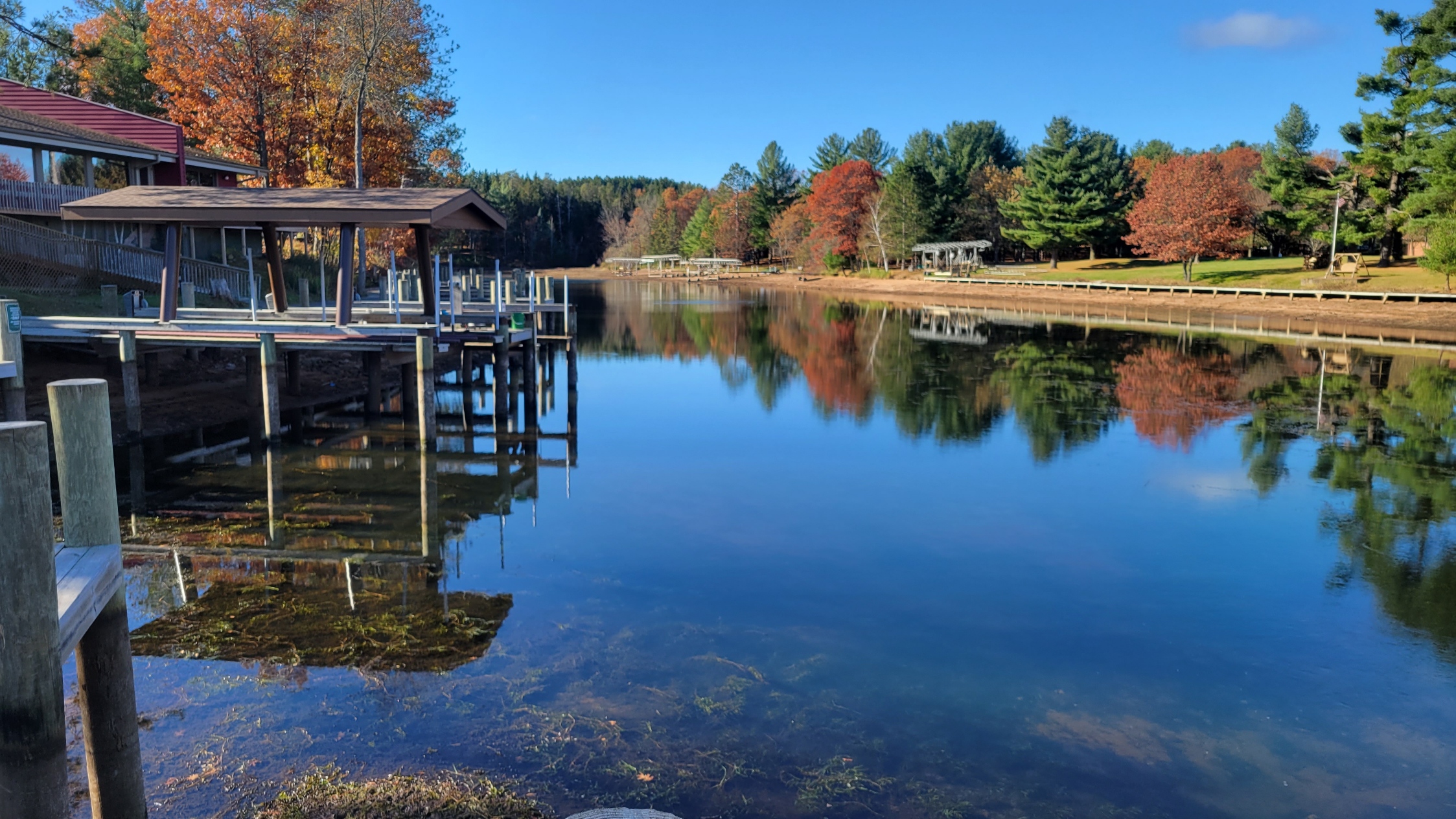
10-25-2021 Serenity Bay-1
10-25-2021 Serenity Bay-2
10-25-2021 Serenity Bay-3

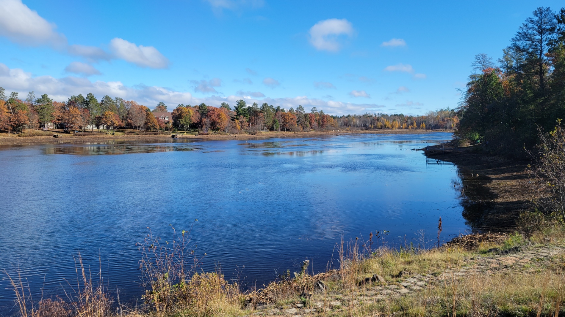
10-25-2021 Smith-Bridge Looking East

10-25-2021 Smith-Bridge-2 Looking West
10-25-2021 Smith-Bridge looking West

10-25-2021 Serenity Bay from County T Looking South
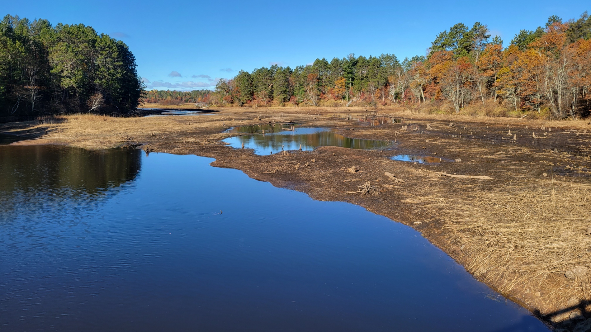
10-25-2021 Pogo’s Channel Looking South
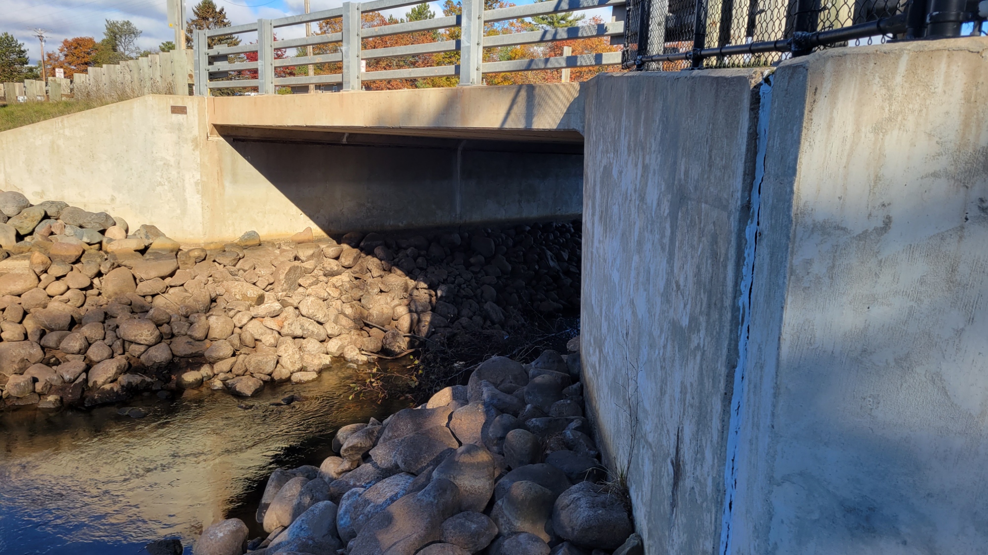
10-25-2021 County T Bridge at Pogo’s
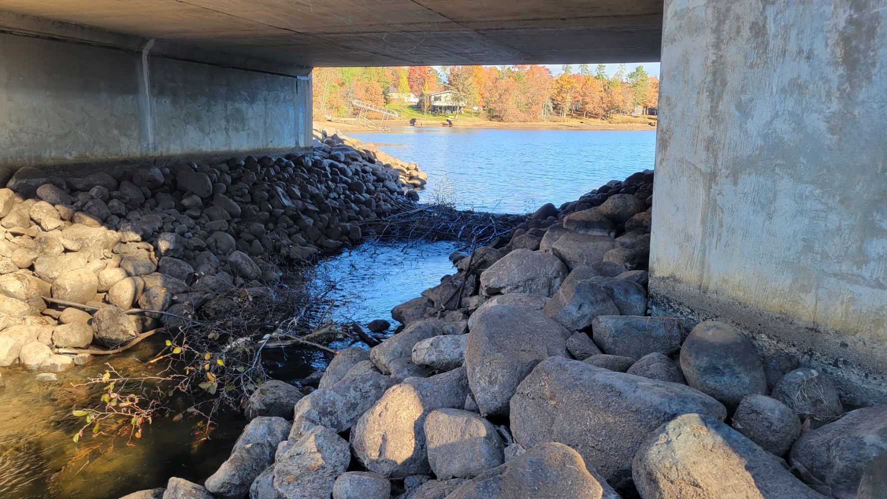
10-25-2021 County T Bridge with beaver dam under the bridge
10-25-2021 County T Bridge looking north
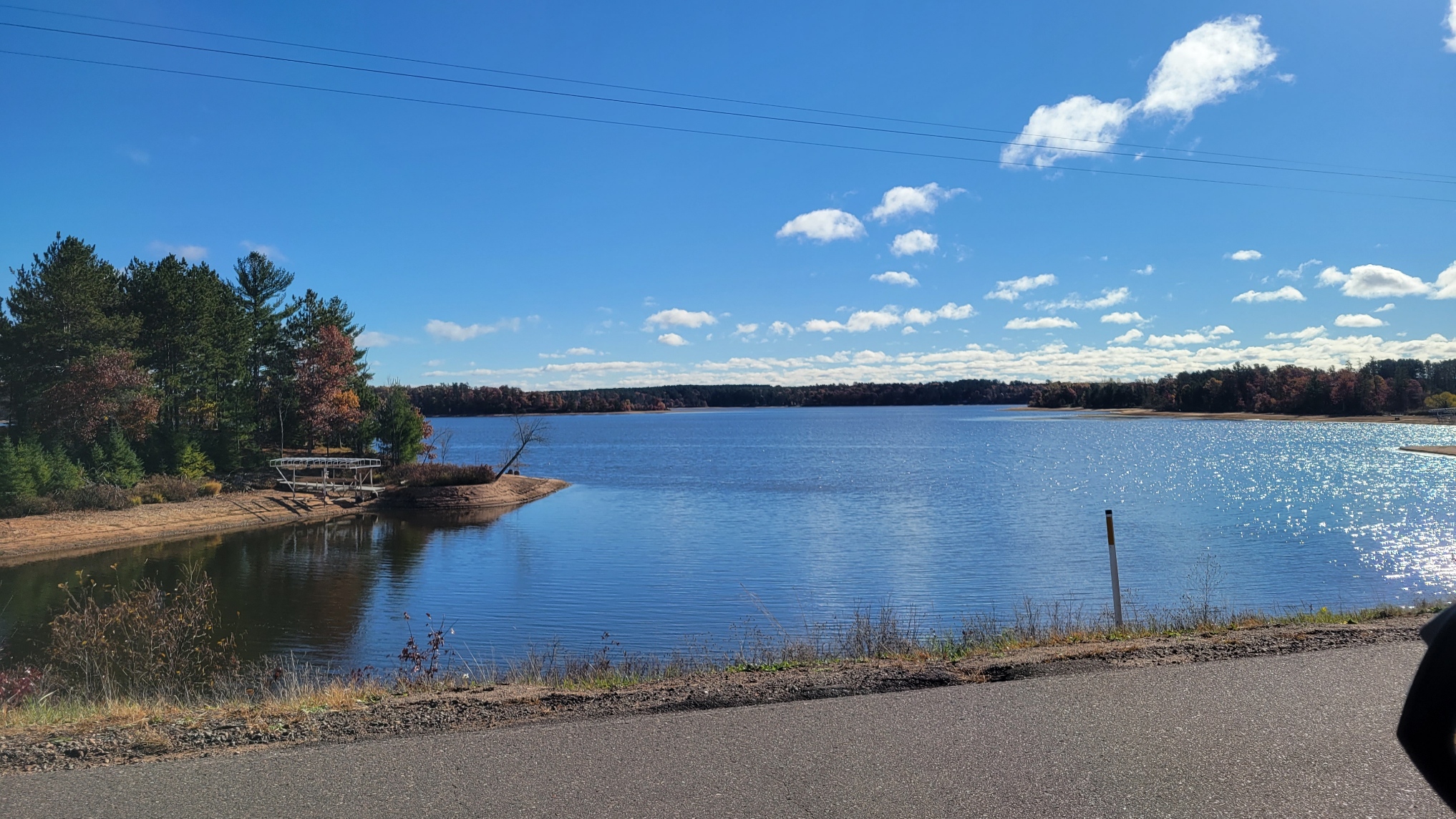
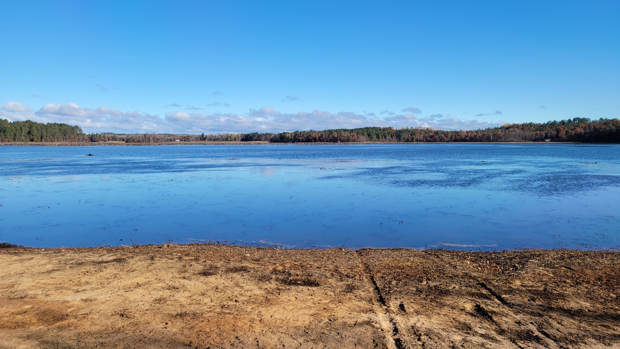
10-25-2021 County Rd I looking East
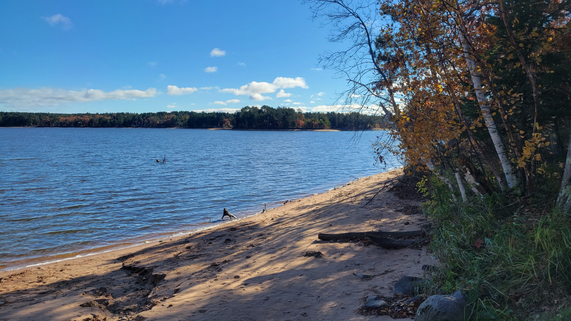
10-25-2021 looking East from the County boat landing